• For more information on how to avoid pop-up ads and still support SkiTalk click HERE.
Status
Not open for further replies.

ski otter 2

Making fresh tracks
Skier
Joined
Nov 20, 2015
Posts
2,929
Location
Front Range, Colorado
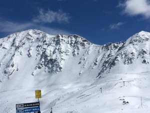
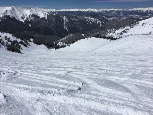
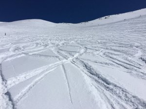
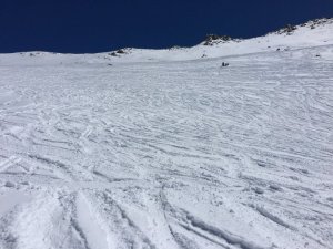
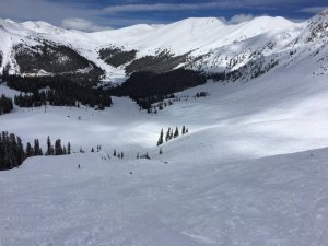
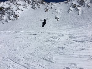
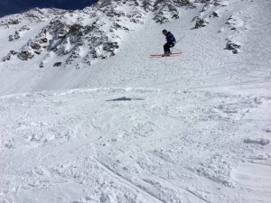
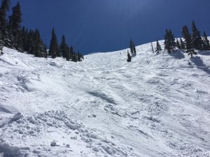
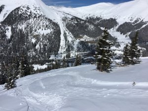
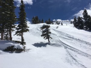
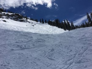
Light, cold snow. At Love today (Wed.) lift 9 and the snow cat were running, and it was bluebird - light wind to the south of the top along the Ridge, above Ptarmigan, heavier wind to the north above lift 8. Many areas up there were two days accumulation. Few people up there, few tracks. Run after run.

(I must have just missed the rock slide near Dumont. The guy who parked two spaces after me said he helped clear off the rocks in one lane, to keep at least that open. )

The areas I skied mostly are along the ridge in the center of the currently featured photo on the Loveland Basin website: http://skiloveland.com/
 

Michael R.

skiNEwhere
Skier
Joined
Nov 17, 2015
Posts
370
Location
UT/CO

Yep that was by Dumont.

Breck skied very well today. I got majorly lucky in arriving at the top of E-chair just as patrol dropped the ropes to Windows, and had first tracks all the way to the bottom.

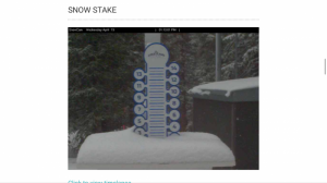
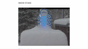
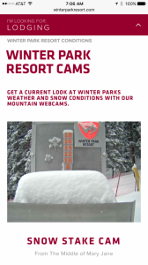
Breck did indeed have what their snow stake reported, there was plenty of pow to go around even if you weren't there for a rope drop.

(Sorry no pics) :/
 

Monique

bounceswoosh
Skier
Joined
Nov 12, 2015
Posts
10,561
Location
Colorado
Breck skied very well today. I got majorly lucky in arriving at the top of E-chair just as patrol dropped the ropes to Windows, and had first tracks all the way to the bottom.

Kinda hate you right now.
 

nay

dirt heel pusher
Skier
Joined
Dec 1, 2015
Posts
6,513
Location
Colorado
Super warm out there. Potential changes on the way - from NOAA:

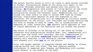
It will be a little more unsettled next week as a series of Pacific troughs move across the region. The first one is progged to brush across the state Monday aftn and evng. Best chc of snow in the mountains would appear to be Monday night, but any accumulations will likely be over the higher west facing slopes aoa 9500 ft. Dry with a short wave ridge over the cwa on Tuesday, then the mdls show the next system passing to the north of CO on Wednesday. If this happens then best chc of pcps will be in the mountains with lesser pops over the northeast plains. A more significant trough is progged to move out of the Desert Southwest and bring a better chance of pcpn to the entire cwa by the end of next week but diverging solutions for this system as well.

IMG_5009.PNG
 
Last edited:

givethepigeye

Really, just Rob will do
Skier
Joined
Nov 13, 2015
Posts
1,709
Location
Charleston, SC
Camped in Denver after a couple of days @ Vail (need to make that Epic Local math work). Spring skiing at its finest. Needed to wait until around noon or so Sat/Sun for China to soften up, but when it did - its was $. Could do w/o the cat track up the middle of Genghis and Jade though. Ski on lifts Fri/Sat/Sun and record time from Vail to 470 -1:15.

Unless it snows, there will be mud.....
 
  • Like
Reactions: nay

nay

dirt heel pusher
Skier
Joined
Dec 1, 2015
Posts
6,513
Location
Colorado
3 storms incoming. The first little one...

IMG_5158.PNG

NOAA sez 6-12" on higher east facing slopes Thu/Fri. I don't buy that yet, because the easterly upslope is missing in the storm track details, but...watching...

Mebbe #3 for Tue. And good thing since we are in free fall several weeks early...

IMG_5159.PNG
 

nay

dirt heel pusher
Skier
Joined
Dec 1, 2015
Posts
6,513
Location
Colorado
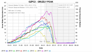
Hey that looks like that really awesome light but dense stuff we've been skiing....

IMG_5329.PNG
 

Jellybeans1000

Getting off the lift
Industry Insider
Joined
Apr 25, 2017
Posts
283
Location
Victoria, Australia
A couple of familiar faces here :)
0170fe832f.png

10 day EPS Control Snowcast. The Northern Colorado areas look to get 10-20 inches.

017104595b.png

And the key system on the medium term, 28-30 May. Looks to have 10-15 inches in it. EC Snowcast.
 
Last edited:
Status
Not open for further replies.

Sponsor

Staff online

Top